Gambia is a small piece of land north and south of the River Gambia and reaches about 375 kilometer inside the country from the Atlantic Ocean. There is no place in The Gambia where there is a more than fifty kilometer distance from North to South. About 2.4 Million inhabitants live in The Gambia (2020). In its capital city Banjul the only port is located. Other important cities include: Mansa Konko (Soma), Georgetown, Kerewan, Brikama, Serekunda and Farafenni.
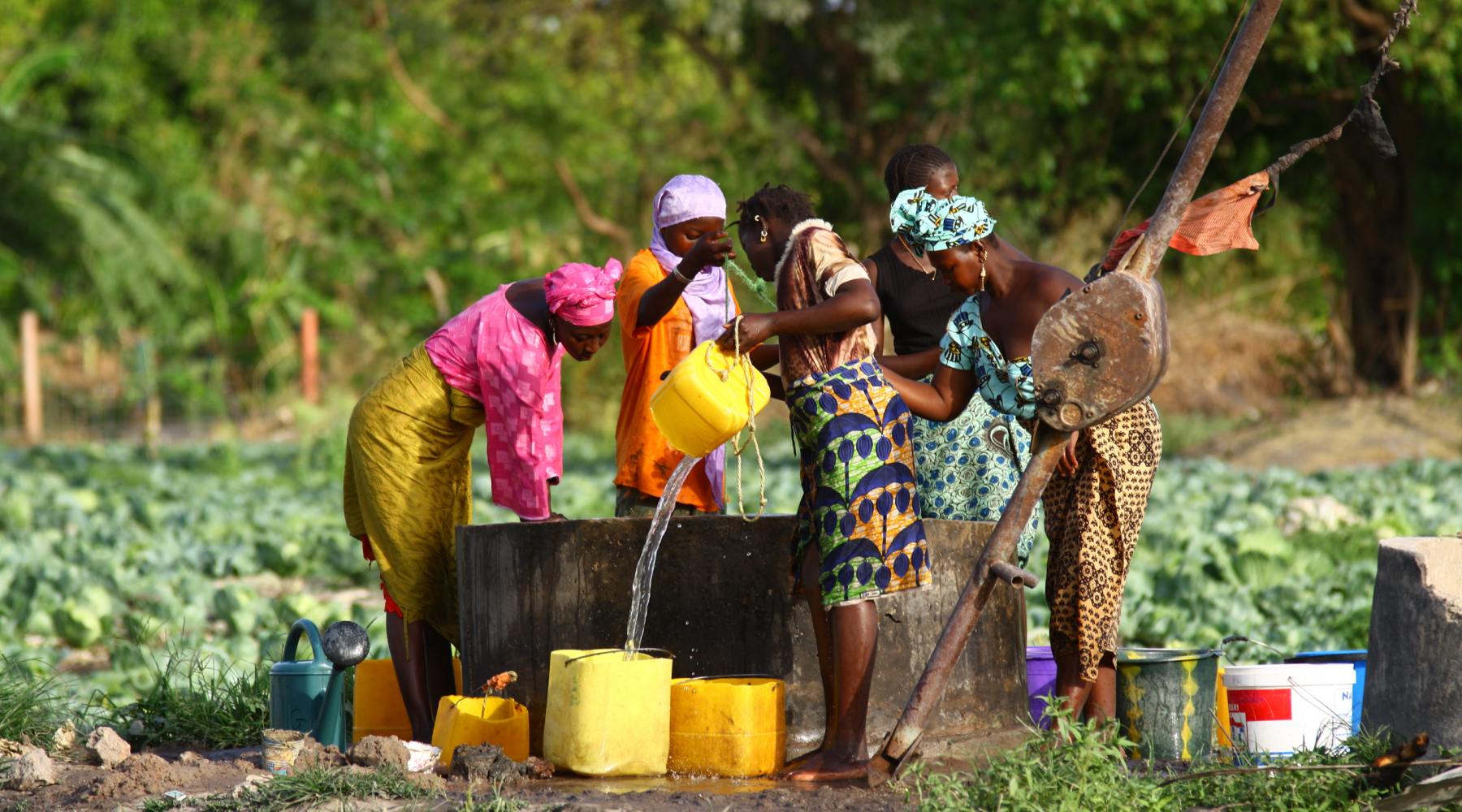
The climate is tropical and there is a raining season during the summer months. During the dry season lasting from December to April there is a hot, dry wind known as “Harmattan” which comes from the Sahara desert. The annual average of rain is about 1,295 Millimeter. In general vegetation can be described as savannah, which is interrupted with bushes and palm trees. Along the river typical Baobab trees and mangroves can be found. Animals: there are leopards, crocodiles, hippos and antelopes, as well as many different kinds of monkeys. Ornithologists appreciate The Gambia because of its many different kinds of exotic birds.
The Gambia is also a tourist destination. Especially the coastal area is famous for tourism with nice sandy beaches. There are hotels in all price ranges. Temperatures in the main travelling season (November until Mai) are on average between 21-35°C and there is always a nice fresh wind. From Brussels the flight time is six to eight hours (direct or with a transit stop-over in Dakar/Senegal). Tourism is the most important source of income today in The Gambia and is the fastest growing branch of the economy, next to agriculture and fishery.
Tourists come not only for beach vacation at the coast but also to see the rich nature and go for adventurous tours upcountry. The time difference between Central Europe is one hour in the European winter and two in the summer.
The political situation in 2020 | more |
The economic situation in 2020 | more |
The population structure in 2020 | more |
Overview of corruption and anti-corruption 2021 | more |
Infant and child mortality in The Gambia… | more |
Health statistics for The Gambia | more |
More information on Jahaly | here |